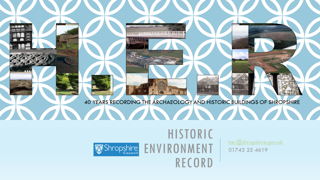
Historic Environment Record
Shropshire’s Historic Environment Record (HER) is the primary source of trusted information about the historic environment of the county – archaeological sites, finds and features, historic buildings, structures and landscapes.
This webpage explains, briefly, what it is, what it records and how you can access it.
What is the HER?
The historic environment record is a continuously expanding database of the historic environment of the county. We hold core information concerning over 39,000 archaeological sites, finds and features, historic buildings, structures and landscapes in the historic county of Shropshire, all linked to computerised mapping. We are also the key repository for all reports on archaeological work and historic building recording carried out in Shropshire and Telford and Wrekin.
We make this resource available to a wide range of researchers, individuals, archaeologists, land managers and students – and are interested to hear from anyone who wants to know more about their local heritage, or knows about historical or archaeological features that we could potentially add to the record.
What does it record?
The historic environment of Shropshire is varied - and the diversity of the records we hold reflects this.
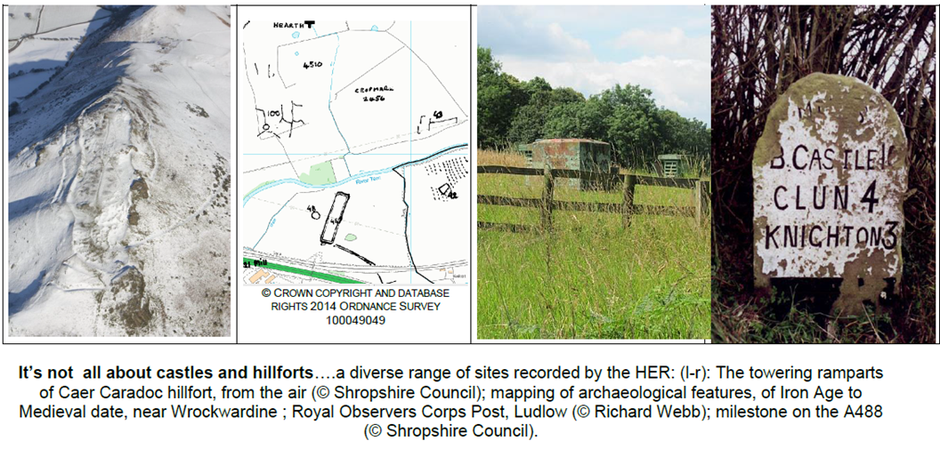
The Historic Environment Record for Shropshire covers a wide variety of different sites and monuments, compiled from a wide array of different sources. Our records are ever growing, but here is an example of some of the different types of site we record.
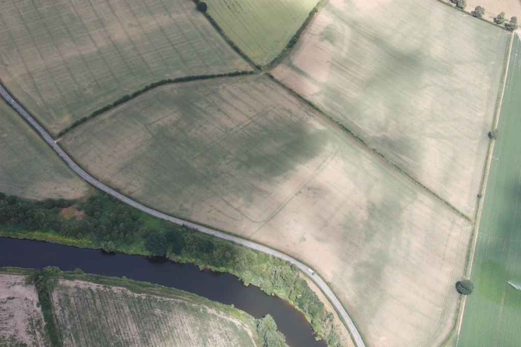
Sites known only from aerial photographs. Many of these features cannot be spotted on the ground. We can only estimate their date and what type of site they represent, from similar sites which have been excavated around the county.
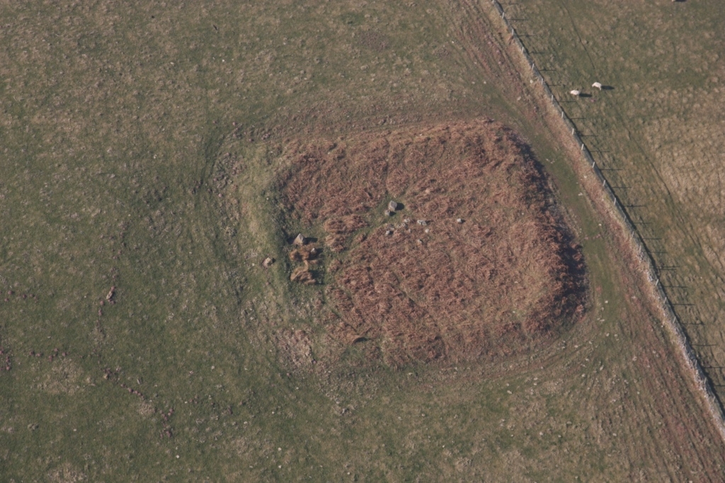
Sites where earthworks, “lumps and bumps” in pasture fields provide us with clues as to what lies beneath. Traces of medieval ploughing, and deserted medieval settlement, as well as evidence of prehistoric and Roman activity in the upland landscapes of the county, are recorded, like this, for instance.
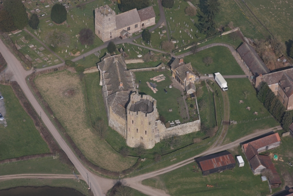
Standing building complexes, both listed and unlisted, that attest to the historic development of many of our towns, as well as the importance of the region during the Industrial Revolution.
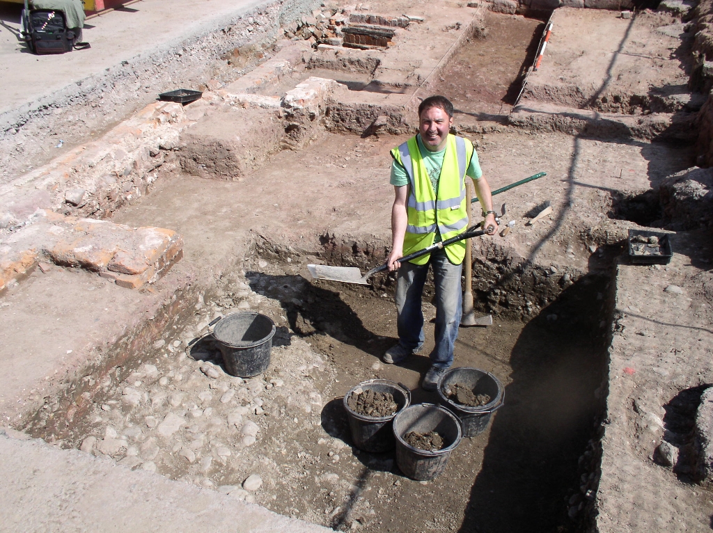
We maintain full records on archaeological fieldwork carried out in the county. This is often as a result of development projects, and includes survey and excavation as well as programmes of desk-based research and building survey.
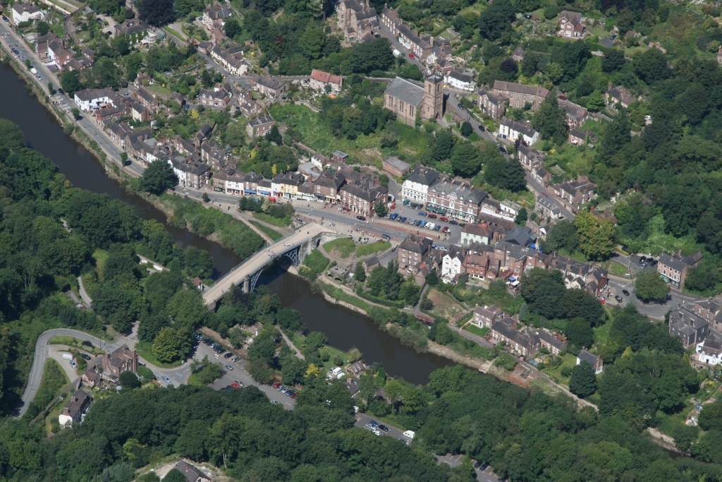
We also hold the results of thematic surveys of different types of monument carried out across the county over the past 40 years. Extensive work has been carried out in both Shrewsbury and other historic towns in the county, drawing together information from maps, documents as well as previous archaeological work. Our collections include recent work undertaken on the historic landscape of Shropshire, as well as its farmsteads.
…amongst much more!
We hold extensive photographic and survey material of the buildings, sites and landscapes of Shropshire which support our records. Much of the source material is held at our offices in Shirehall, and is available for consultation by appointment. Information is accessed primarily through a database linked to electronic mapping, so can be easily searched.
See our HER user policy for more details of what we record and how we record it.
How can you access it?
In person
By viewing the HER, you have the most direct access to assistance and resources. The HER is based in our offices at Shrewsbury Library, Castle Gates, Shrewsbury. Access is strictly by appointment only - please contact us to book.
By phone, post or email
If you can't visit in person, you can ask us to search the system on your behalf. You can contact us by phone, post or email. We can then send you the results of the search as hard copy or in electronic format.
When you make an enquiry, you'll usually need to say 'where, what and why' with respect to your enquiry.
- What location or area are you interested in? (national grid references are a great help)
- What type or type(s) of information are you interested in?
- Why do you want the information?
Knowing why will help HER staff ensure their response meets your specific needs, and also helps to protect the county's archaeology and historic buildings.
Please always include a phone number or email address in case anything needs to be clarified.
Over the internet
The HER is one of the partners in a website called Discovering Shropshire's History (DSH), alongside Shropshire Archives, the Museums Service and a range of local history groups.
The HER records on DSH can be searched by both the simple search box at the top of the homepage, and a much more sophisticated advanced search.
The HER also makes available copies of its 'monument' records to the Heritage Gateway website. This site offers a good range of search tools, allowing the Shropshire HER records to be queried in isolation or in conjunction with other local and national records.
Please note: Our online records are supplied for information purposes only, and are not suitable for commercial, planning or land management purposes. They are updated biannually, with information on some sites withheld from publication. The HER holds an extensive archive of material which has not been digitised, and can advise on material which has not yet been accessioned into the record. For commercial purposes, please contact the HER directly to arrange for a full search to be undertaken (see below).
Commercial HER searches
Single site search: A single site search is only available when requesting material related to an individual built heritage asset recorded in the HER. It is suitable for preparing a heritage impact assessment/statement of significance in line with a householder application, for example. Information available will vary widely on the basis of what is held in the HER but will typically include – digitised photographic material, original record cards, supply of 2nd edition Ordnance Survey map (if appropriate) and advice concerning any previous photographic/survey records.
The standard fee for the time taken to compile these search results will be £65+VAT. In the case of no information being available, typically, no charge will be made.
For all other commercial requests, please see below.
Full HER searches:
- Standard search: £135+VAT per hour, or part thereof. Turn-around time: up to ten working days
- Priority search: £265+VAT per hour, or part thereof. Turn-around time: guaranteed two working days
For full HER searches, we will supply:
- Monument and Event records as .pdf files.
- Monument and Event mapping data can be supplied as either GIS files (ArcGIS .shp files) or as pdf maps. If you are requesting GIS files, we do require you to sign a customised data sharing agreement that covers your use of the GIS data. The GIS data can also include the Historic Landscape Character Assessment data (which is only comprehensible in GIS format), if requested.
Full HER searches are considered suitable for the preparation of wider heritage assessments, desk-based assessments or as the background to archaeological reports.
Alternatively, you can arrange to come in to the HER to carry out your search. We don't charge for this as long as it doesn't tie up large amounts of staff time. This has the added advantage of being able to follow up on the reports and other sources to which the HER records are an index. It can also be tied in to a visit to Shropshire Archives, Castle Gates, Shrewsbury.
To request an HER Search, please email us (her@shropshire.gov.uk), including:
- Clear details of the area to be searched. This may be a radius around a central NGR, a buffer around a development area, or supplied as a .shp file. It is the responsibility of the contractor to ensure that the search area requested is appropriate to the purpose of the request. The HER can provide outline guidance to assist with this process.
- The purpose of the search request (e.g. heritage statement, background to archaeological fieldwork etc.).
- What information you require. Our ‘standard’ supply is Monument and Event data (database records and mapping), but we can also supply HLC data (as mapping only).
- The formats you require search results in (records are supplied in .pdf format as standard with mapping supplied as GIS .shp files or .pdf maps).
- The timetable required for the return of the search results.
You will be issued with an Information Request Number (IRxxx) which you should quote in all correspondence.
Historic environment consultations under Environmental Impact Assessment (Agriculture) Regulations
Our charging policy for Environmental Screening Report (ESR) Historic Environment Consultations in relation to the Environmental Impact Assessment (Agriculture) Regulations 2017 is in line with our Standard HER search of £135+VAT for each hour or part thereof to provide a consultation response.
This will comprise a HER search, providing information on designated and non-designated heritage assets (archaeological structures, features or deposits and historic buildings) that may be directly or indirectly affected by the project, together with a HER Advice Map where appropriate. Where possible, the consultation response will include an opinion on the level of significance of any features present, and the impact the project will have upon them. This charge will apply to consultation responses with nil returns.
For further details, please refer to our HER user policy.
Historic environment consultations for woodland creation consultations
Our charging policy for these consultations is in line with the Forestry Commision’s recommended fee structure:
Payment band A
Local historic environment declines to comment – No charge.
Payment band B - proposal area 0-4.99ha
- Fee for HER information: £100+VAT
- Fee for advice: £95+VAT
- Maximum total fee: £195+VAT
Payment band C - proposal area 5ha-50ha
- Fee for HER information: £130+VAT
- Fee for advice: £130+VAT
- Maximum total fee: £260+VAT
Payment band D - proposal area 50ha+
- Fee for HER information: £130+VAT
- Fee for advice: £195+VAT
- Maximum total fee: £325+VAT
The consultation response will comprise a HER search, including a review of historic maps, aerial/satellite images and LiDAR data, providing information on designated and non-designated heritage assets (archaeological structures, features or deposits and historic buildings) within or in close proximity to the proposal site, a HER advice map, and a map extract of Shropshire’s Historic Landscape Characterisation (HLC) data.
We can also provide a considered formal view of the implications of the project in accordance with the UK Forestry Standard historic environment requirement and guidelines.
In accordance with the agreed notification procedures as set by the Forestry Commission, a response will be provided within 28 days.
Historic environment consultations provided under Countryside Stewardship
Historic environment information and advice for Countryside Stewardship applications is provided through the Historic Environment Farm Environment Record (HEFER) web portal, under a service level agreement agreed between the Rural Payments Agency, Natural England and the Association of Local Government Archaeological Officers (ALGAO). Nationally agreed charges apply for providing historic environment information and advice, and this is administered separately through the Rural Payments Agency.
Contact Historic environment team
- Shirehall
- Abbey Foregate
- Shrewsbury
- SY2 6ND